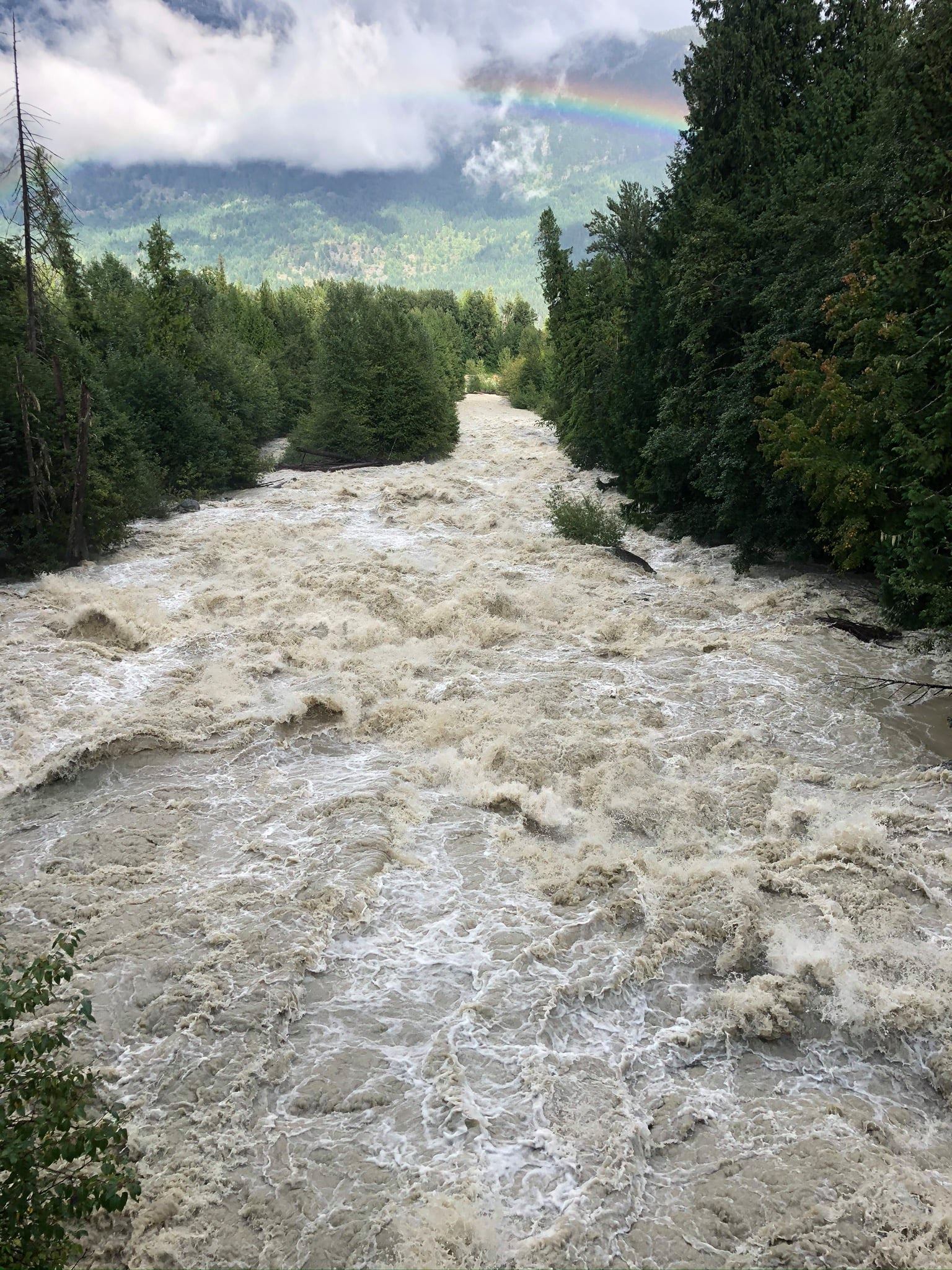
The Pemberton Valley is a complicated geographical area. The Pemberton Valley Dyking District and its local partners work diligently to maintain flood control infrastructure.
Times have changed, and due to Provincial governmental changes, inflation, development of the Pemberton Valley and the Mt. Meager slide we are now faced with a growing risk in which to endeavor to manage. With these changes the PVDD is faced with making choices for the future.
Share your thoughts.
Take the PVDD survey:
https://www.surveymonkey.com/r/GWMJMZ6